The Decalogue Stone of Hidden Mountain
This ancient site in the Chihuahuan desert south of Albuquerque, NM possesses striking evidence for the careful observer to conclude that Hebraic peoples lived here over 2100 years BP.
Before I began getting to know the flora of my environment in depth, I was on a mission to visit ancient sites everywhere I went. Long before I possessed a digital camera, I was visiting classic petroglyph sites throughout the Southwest as well as cave dwellings and other archaic habitation sites throughout the Americas.
When I began this journey, I experienced an inner knowing that what I had been taught about history was within a very narrow scope, to whatever extent it may have been true. Each archaic site I encountered in the desert appeared simultaneously ancient as well as relevant in the moment I was standing there. That is to say that their relevance was being divulged to me as I experienced them in person. The information I perceived was sometimes beyond assimilating for its density and richness.
Upon first visiting Chaco Canyon in the northwest corner of New Mexico almost 25 years ago, when I watched the video presentation in the visitor center that had just been released on the archeoastronomy of this massive site, I was hooked into this realm of study as I felt its relevance deep in the fabric of my being.
Pueblo Bonito, Chaco Canyon Photo credit: William Horton
This was where I first learned of the metonic cycle of the moon (which lasts almost 19 years). Here at Chaco Canyon, for example, there are outlier buildings (some 2-5 miles from the center of the park) which are on an orientation from Pueblo Bonito to mark the furthest rising locations, on the northern and southern extremes of the eastern horizon, of the moon over it’s full 19 year cycle. Similar to the sun’s roughly 180 day cycle (between the solstices) where it covers the entirety of its trip along the eastern or western horizons, so does the moon (but in a different, more sporadic fashion) over these 19 years. Just observe the moonrise consistently and you’ll see how variable its rising location can be just within 1-2 months time.
The architects of the Chaco Canyon complex apparently understood and highlighted these celestial phenomena, with exceptional accuracy, over many miles of terrain. Little did I know at the time that the interplay of the sun, moon, and Earth was only the tip of the astronomical iceberg insofar as the complexity of archeoastronomy the world over. But before we come to the world at large, the complexity here in the American Southwest alone is enough for lifetimes of study.
I first learned about the Decalogue stone maybe 25 years ago in a book by David Hatcher Childress entitled Lost Cities of North and Central America. As a sort of modern Indiana Jones, Childress has traveled and explored the world with an open mind, a thirst for knowledge, and a desire to tell a long tale. I carried that book with me while backpacking from New Mexico to Panama seeking out sites wherever I could to satisfy an inner curiosity to understand something I didn’t have a clue that I was after.
Fast forward more than 20 years and I finally managed to visit the Decalogue stone, with a second visit very recently in April 2023. The site is phenomenal. Visually, it’s an interesting hike and there is a lot to see here, but for the average onlooker it may not amount to much at first glance - many of the most fascinating sites are just like that. It takes a deeper knowledge of the story to uncover the value of the place you’re visiting.
The hike up to the presumed military encampment is along a relatively steep ravine in an open desert climate occasionally dotted by shrubby juniper trees. I note the vegetation I recognize, wondering if these same plants may have grown here during inhabitation of the site. Estafiate (Artemisia ludoviciana) is scattered amongst the boulders of the narrow canyon one ascends to the top where the encampment lies - had the soldiers applied it for injuries? initiates as an aid for dreaming or meditation? This visit, I got to see spring parsley (Cymopterus glomeratus) in flower, sulphury yellow, with its waxy green leaves hugging close to the ground.. perhaps something their sheep would have browsed on.
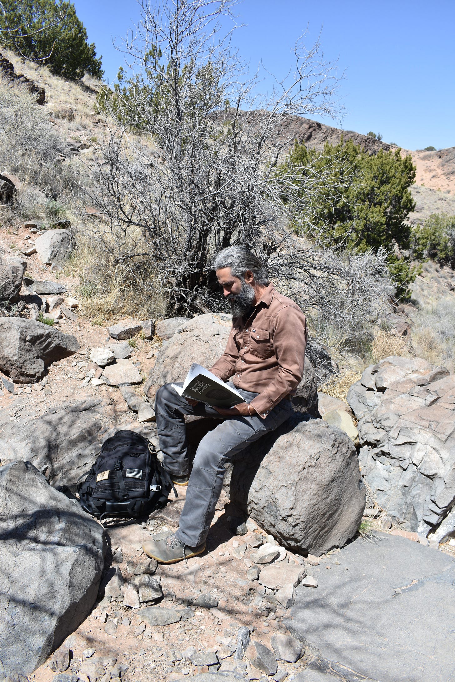
This visit I was searching for a particular set of petroglyphs described in David Allen Deal’s book, Discovery of Ancient America. This book is an excellent resource for those seeking to understand this site. Further on, I’ll give some more detailed instructions on locating the site. Fortunately, my persistence paid off and I managed to locate the pecked engravings I was seeking, and even more.
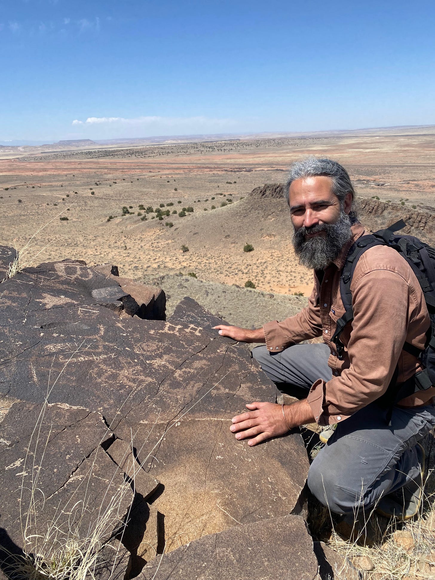
What these petroglyphs - set upon a single rock face - depict (according to Deal’s research) is the solar eclipse experienced in the sky to the Northwest one September afternoon over 2,000 years ago. How does he know that? Well, let’s take a look and see.
Petroglyph at Hidden Mtn showing solar eclipse and constellations
Although this site is purported to be a military encampment, and quite possibly it was, I feel there was a lot more going on here. The pithouse, rock-lined bunkers at the top could have served another purpose as well. Given the dating of the solar eclipse, it nearly coincides with the autumnal equinox, a time of significance in ancient cultures from the broader Mediterranean region in which spiritual enlightenment of the individual was sought. Perhaps they were marking this time as significant in their cosmology, while noting the proximity to a holy time of the year? That is, of course, simply my conjecture, but it is the initial conjecture that often gets our minds entertaining new ideas leading to broader, or enhanced perspectives.
Equinox marker shown pointing due East-West
We should start with a brief explanation of the Decalogue stone to put this location into better context. The Decalogue stone, measuring roughly 4.5’ by 5.5’, is an iteration of the 10 Commandments carefully etched into stone. The form of writing is Hebrew, but it’s a particular form of Hebrew as is evidenced by some of the characters. This form of Hebrew pertains to Greek colonies that flourished roughly 1900-2200 years ago (BP). What’s particularly interesting is that this long out of use form of Hebrew would not have been recognized by a single scholar, the world over, until the late 1800s. However, the Decalogue stone was first reported in the mid-1800s by a local New Mexican rancher. Explain that discrepancy, please. So the likelihood of this being an elaborate ruse is put to rest with that knowledge alone. Let’s continue.
The petroglyphs depicting the solar eclipse, looking northwest (towards background)
Coupled with the dated linguistic evidence present on the Decalogue stone, I find the proposed celestial alignments on this rock face all the more intriguing. It has become a phenomenon in itself, for researchers to explore a multitude of possibilities in how rocks align to solar, lunar, or astronomical events as well as reviewing petroglyphs or other rock illustrations as potential depictions of celestial phenomena or even exact moments in time. It appears that the latter may be the case in this rock depicted above. I thank the researchers involved with this discovery as it certainly takes some curious exploration and significant pondering to begin to ascertain this possibility.
Although stargazing software is far more common and widely available now (including free desktop software), this research was done at a time when this practice was far less common.
The discoverer of the celestial zodiac map (photo above) was Phil Leonard, a president of the Western Epigraphic Society, that was later reported in an article written by Bill McGlone in Western Epigraphy, vol. 1, No. 2 in December, 1983. Both men have been integral to the study of other unorthodox archaic sites in the Southwest.
One particular thing that’s important to note here is that the sky we see today is not quite the same one would have seen 2,000 years ago. This is due to what’s called the precession of the equinoxes. Although there is some debate as to why this occurs, it is a phenomenon that results in a movement of the sky over time (relative to how its seen from Earth) such that a different sign from the zodiac will appear at the eastern horizon at sunrise roughly every 2,155 years. Or to put it another way, due to the opposite rotation of the ecliptic (the sun’s great circular path through the cosmos and the path along which we see the zodiac move across the sky) and the Earth’s equator (the conventional view of how the precession manifests, due to the Earth’s wobble on its axis - but other views exist to debate this view), the nodes, or equinoxes, at which they pass each other, annually, rotates over time.
Now, in our time, the constellation of Pisces has nearly fully emerged from the horizon at sunrise on the vernal equinox, and before too long it will be Aquarius (the zodiac moves backward along the ecliptic) - this is why some speak of moving into the “Age of Aquarius”.
This is relevant to this discovery, as due to this phenomenon (precession of the equinoxes), the sky has shifted about 25 degrees from the time of the proposed solar eclipse in Virgo. And it is this time-stamped sky that the viewer of the petroglyph witnesses when standing at the rim of Hidden Mountain facing a north by northwest direction, exactly the direction the viewer of the solar eclipse would have been facing 2100 years ago. This is notated by an “eye” in the center of the zodiac map (the viewer’s perspective) and it may reference the eye of the solar eclipse as seen from above, ie. the moon’s shadow falling onto the Earth below.
What’s been divulged through careful study of the stargazing software (by Charles Runfola and David Allen Deal) is that this phenomenon could only have happened on September 15, 107 BC due to the relationship of the constellation Virgo to the star Spica on the celestial zodiac map pictured above. According to the stargazing software, only two other possibilities of a solar eclipse in Virgo occurred going back to 1,000 BC, but neither of these held the positioning intact that’s depicted on the zodiac petroglyph from Hidden Mountain.
Not only that, but a particular engraving on the celestial zodiac map depicts a unique 3 planet conjunction (Mars, Jupiter, & Mercury) which pointed directly from Libra to the eclipse (see photo below).
So now we have two legitimate time-stamped references for this site:
1) A form of ancient Hebrew that pertained to a particular Greek colony and that had a very specific timeframe for its duration
2) This accurate depiction of a known solar eclipse that couldn’t have happened at any other time since 1,000 BC
So, what were they doing there? How did they get there? What were they eating? With whom did they relate in the vicinity and did they engage in trade? Did they have an amicable relationship with the local population? Were these stories passed down and for how long?
There are, of course, so many questions to consider given such evidence that stands in stark contrast to our official narrative of history.
Frankly, this is but one element within the region, not to mention the entire state, the entire Southwest, the entire USA, the continent, or the Americas as a whole. There are hundreds of sites and there are countless stories amongst the indigenous cultures of North America which reveal a very different antiquity that what we’ve been told.
In fact, I was told by an elder man from Zuñi, a tribe located about 125 miles straight west from Hidden Mountain, that not only were there Chinese camped nearby when Coronado arrived seeking the 7 Cities of Cíbola in 1540, but “the Welsh and Celtic peoples visited us before them”, he said.
I believe our history is much different than what we’ve been taught, and I’ve been uncovering bits and pieces over the past 25 years that have only uncovered more and more questions.
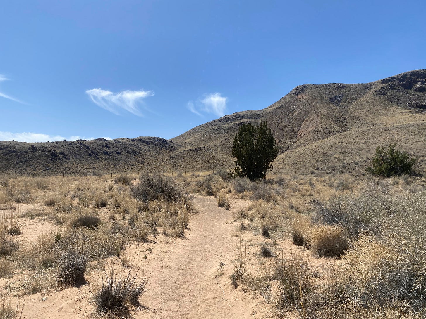
The approach to Hidden Mtn (heading southeast)
To arrive at Hidden Mtn, one passes through the town of Los Lunas from I-25, just south of Albuquerque, NM. From there head west on state highway 6 for about 18 miles to the turn off for Landfill Rd. You will cross over railroad tracks before crossing a small arroyo. Just up ahead on your left you’ll notice a gate - that’s the trailhead (at Tribal Rd 315). Don’t go up to the building ahead which is the entrance to the landfill. The hike will approach Hidden Mountain from the north/northeast.
Once you pass through the gate, you’ll begin to see cairns as well as arrows formed on the ground with rocks to point you in the right direction. Heading along the dirt road with the mountain to your right and the wash off to the left, you will come to another gate right before making your ascent. The ground is quite sandy here.
The Decalogue stone, near Los Lunas, NM
You will continue to find cairns on the ascent. The gain in elevation from the bottom to the top is maybe 500 feet over approximately 1.25 miles total distance. At just about half-way up the ravine one encounters a sheer rock face on the left of the ravine before the trails kicks over the ravine to the right. If paying close attention to the direction of the trail and not the immediate surroundings, it’s easy to miss. But there lies the Decalogue stone (image above) adjacent to an ash tree.
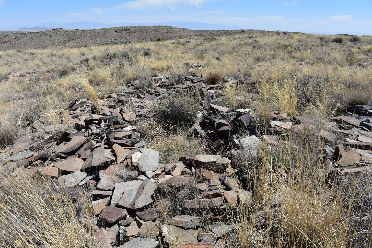
Continuing up the wash beyond this point, you will be presented with two options (if you notice) - to continue up the wash, or to climb out of the was to the west (on the right). Continuing up the wash will bring one to the top of the mountain where one will encounter several rock-lined pit structures and the remnants of the entire encampment. Continuing on up to the top, and in a clockwise fashion down towards the north along the rim, will bring one back to that second option/point of departure within the wash that would have been passed to continue up the wash to the top. Along the rim (facing west and north) is where the majority of the petroglyphs are, including the celestial petroglyph depicting the solar eclipse.
Remains of pit structure at the top of Hidden Mtn
I would encourage anyone who’s interested in this site to pick up a copy of Discovery of Ancient America to acquaint oneself with more of the nuances associated with this find and to enrich any visit you may plan.
There is a great deal more to tell than what’s been told of the story of this land.


